Job Title
Tour Guide & Bike Shop Staff
Company/Organization
Cycle Portland
Job Description
Status: Full Time, seasonal position with the possibility of staying on year round. (Minimum of 35 hours/wk required during training, 30-40 hours available weekly after completed training depending w/semi flexible scheduling) Must be available weekends.
Compensation: $13/hr starting ( plust tips! ) with possibility of performance raise based on 30-day evaluation
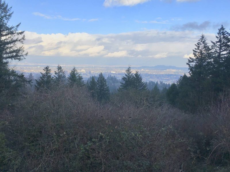
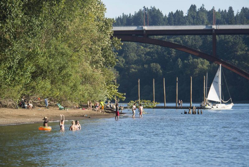
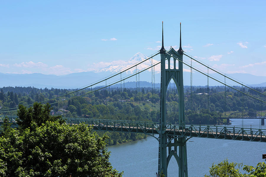
Location: Portland, Oregon
Who We Are
Cycle Portland works to support and inspire visiting cyclists and local commuters alike though quality repairs, guided bike tours, and affordable well maintained bike rentals. We continue this mission today as we look for tour guides interested in showcasing the city we love. As part of our small team, you’ll have the opportunity to advise travelers about your favorite local attractions and hotspots, lead guests around town as part of our easy-going cycling excursions, and lend a hand a the shop as we continue our goal of providing excellent service to our community through our full-service bike shop in downtown Portland, OR.
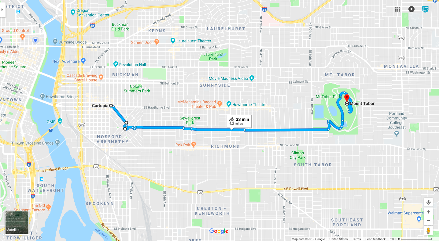
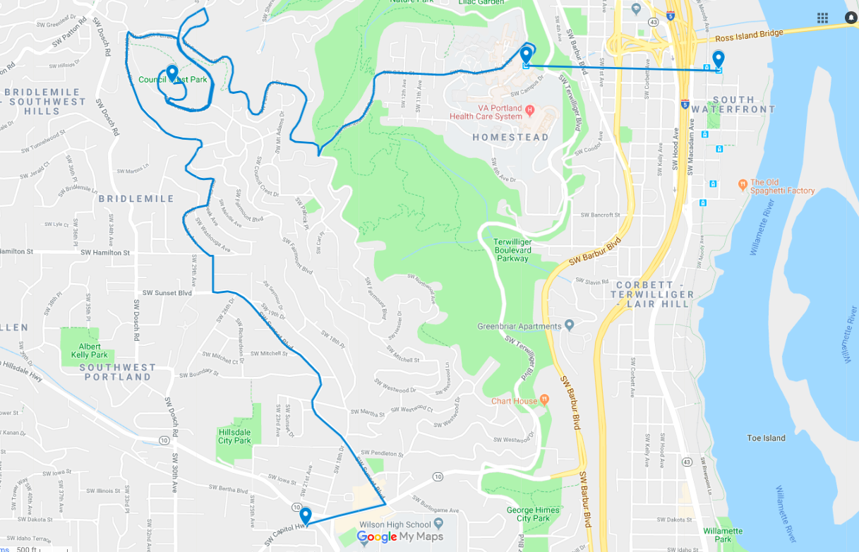
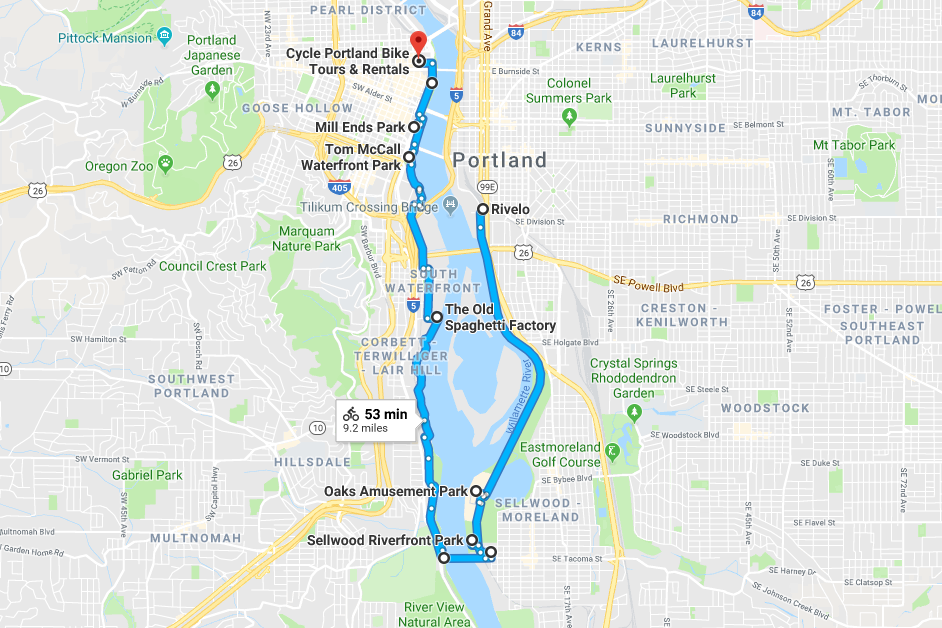
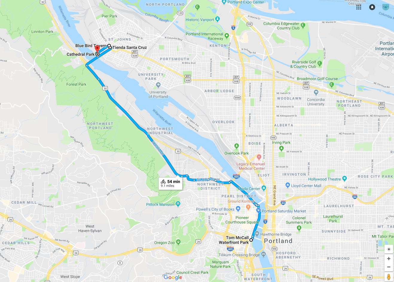
While primarily focused on tour guiding, this position is multidisciplinary by nature. This position encompasses guiding up to two tours per day (4-5 hours of outdoor time) on our Foodie, Brewery, or City excursions. During time at the shop you’ll help guide clients through our bike rental process, answer general questions about the products and services we offer, and assist in keeping the shop running smoothly. You’ll also get the opportunity to dive deep into the history our our city in both past, present, and future as we work to keep our tours engaging, fun, and informative.
Knowledge and skill in the following areas is preferred (but not required), and represents core strengths as part of this position.
-
Genuine desire to work with and listen to the public both as a tour guide, and as part of our shop staff to meet client where they’re at with their needs
-
Excellent public speaking skills and comfortability working with and projecting to audiences of up to 12 individuals at a time
-
Strong verbal and written communication skills
-
Curiosity! We love learning about Portland, and sharing that passion with others as the stories of our city, and our region evolve
-
Ability to focus in and knock out smaller projects while keeping in mind larger cycles that occur throughout the course of our operations
-
Self motivated and comfortable asking for support when needed
-
Ability to lift bicycles and other objects up to 55 pounds on a regular basis, however reasonable accommodations can be made for qualified applicants
-
Experience in the performance arts, previous bike shops, and tour guiding while not required, is a plus
This position is suited to individuals who are objective oriented and enjoy sharing their knowledge and experience with others. Our tour guides interface directly with the public, and comfort with giving directions, route assistance, and helping clients plan their visit to Portland is highly valued. While we’re sometimes known as a tour & rental shop, we deeply appreciate our connections to our local riders, friends, and commuters formed over the last 10 years. In this position you’ll get to continue those relationships with our cycling community, while forming many new ones as we meet a host of amazing travelers looking to learn more about the city we call home.
How To Apply
Cycle Portland is an equal opportunity employer. We celebrate diversity and are committed to creating an inclusive environment for all employees.
As part of your resume please include a brief paragraph about why you’d be a good fit for this position, and your weekday/weekend availabilities. This is a full time position, however part time can be considered based on merit.
Email to: portlandbicycle@gmail.com (or)
Drop off: Cycle Portland 117 NW 2nd Ave, Portland, OR