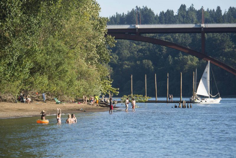
A good bike path is predictable and unexpected. A good bike path is popular and inconspicuous. A good bike path is simple and adventuresome. Despite the minimalist nature of this quadrant cutting bikeway, there seem to be endless opportunities. Consequently, in Southeast, in all its natural and man made beauty, I have found a favorite bike path in Portland.
The Bike Path
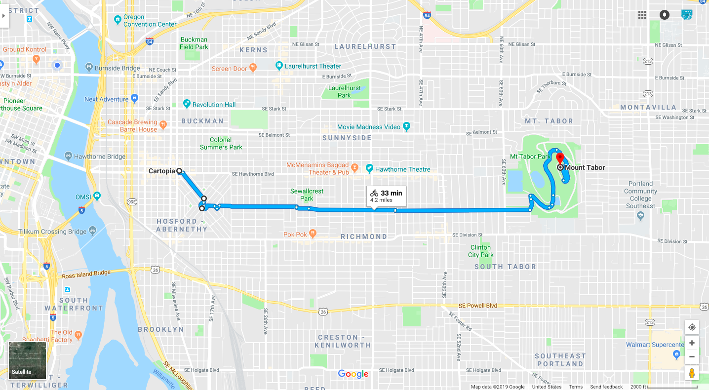
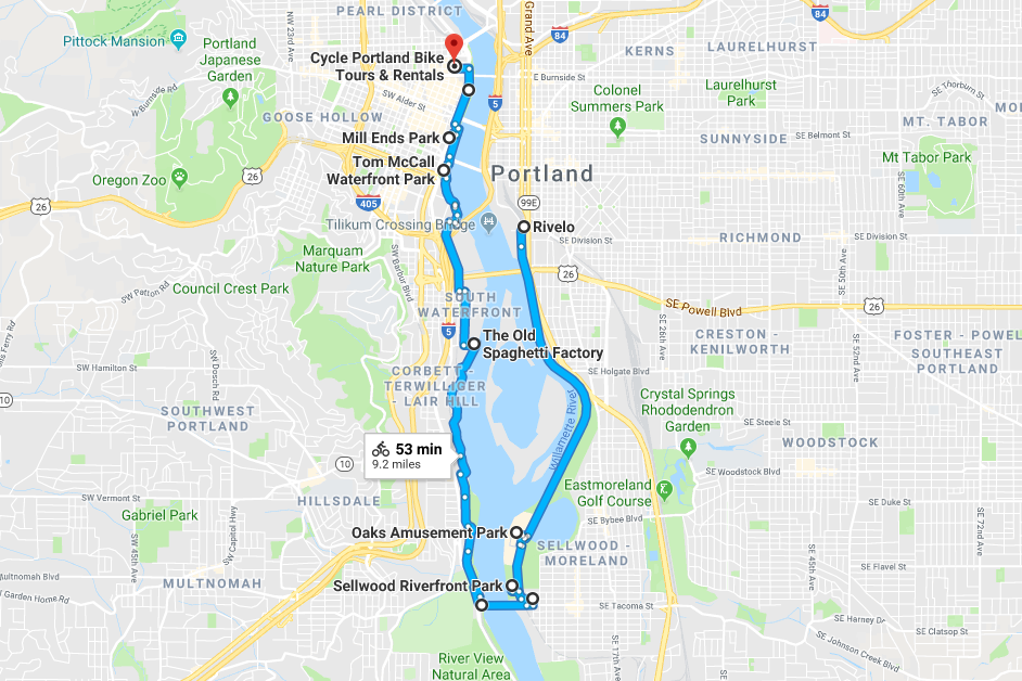
Beginning from its most western point, the path starts at the food carts at Hawthorne and 12th, known as Cartopia. Most folks would confess that it’s not good to start your bike ride with a big meal. But I am a character of contradictions.
Ladd’s Addition
After stuffing face with Potato Champion fries or a Bottle Rocket burger, look to the south to embark into Ladd’s Addition. Inspired by the French L’Enfant design, this section of Portland sticks out on a map like a positive drug test result at the Tour de France in the early 2000s. There is plenty of room for cyclists to pedal while enjoying the local scenery in this cozy neighborhood. Find comfort in the shade of the American Elms. Gander at the diverse homes. Inhale the fresh Portland air.
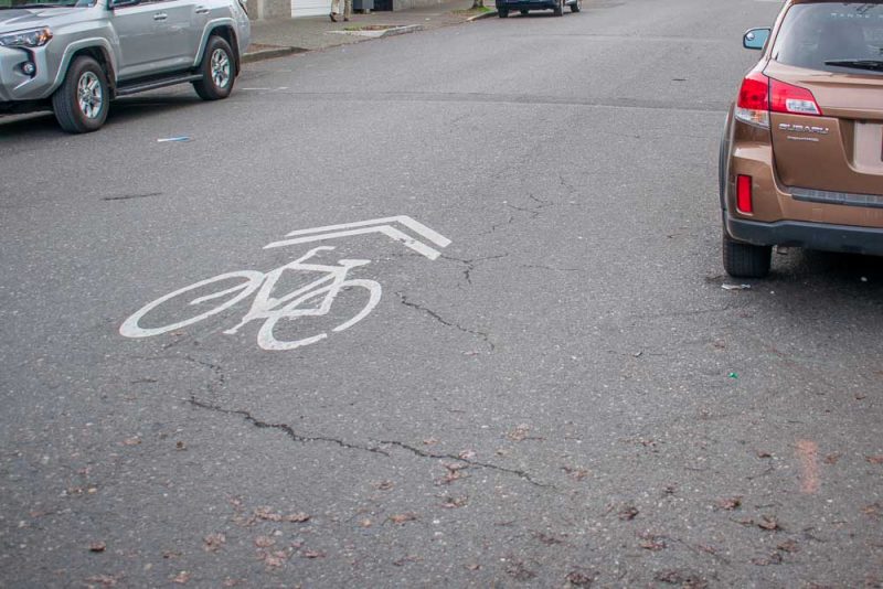
Then exhale and round Ladd’s Circle. Next, veer off right to exit onto Harrison. Circumvent the small neighborhood Rose Garden. Past this, heading east, there will be a stoplight. Perpendicular to your path is 20th Avenue, a popular road for cars to use. Consequently, this stoplight is a nifty piece of Portland bicycle infrastructure. Often, busy intersections are where car-bike and car-pedestrian related accidents occur. The light here ensures that all travelers are aware of the frequent use of this cross-section. Following the white crosswalk or green cross-bike, citizens can cross comfortably as cars come to a halt indicated by the blinking light and stop sign. It’s nice knowing a city wants to protect its citizens.
Additionally, there is no through traffic by car at this cross. In fact, there is even a barrier that allows only cyclists to cross 20th. This is part of a measure to prevent cars from traveling for extended periods of time on the Neighborhood Greenways of Portland. This development is a staple of Portland’s commuter transit. It is part of what separates Portland as one of the best biking cities in America.
Enjoy Southeast Neighborhoods
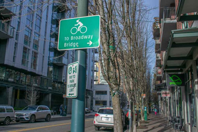
Alas, begin a gradual ascent up Harrison. A single speed nightmare, a commuters struggle, a cyclists bunny slope, this ten block hill offers scenic homes and foliage to enjoy until reaching another bike friendly intersection with yet another 4-way with flashing red lights. When free to cross safely, the ascent is rewarded with a rightward verge onto Lincoln that carries cyclists downhill. Following Lincoln through the heart of Southeast Portland, bikers may peel North or South to enjoy the sights and sounds of our popular districts.
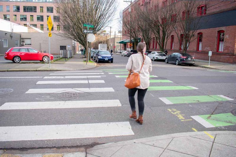
Diverting North, Hawthorne Street exemplifies the weird and fun quirks that make Portland so… well… Portland. Shop at boutiques and thrift stores, enjoy fine dining and food carts, and explore Portland culture. Alternatively, turn South and check out Division Street, a newly flourishing part of Portland offering some of the best food and neighborly feels. Occasionally, if I opt to skip Cartopia beforehand, I’ll stop at my favorite brunch spot Trinket for the ambiance and neighborhood vibes. Ultimately, orient back to Lincoln, continue along the Greenway passing puppies, pedestrians and parks while following signs to Mount Tabor.
Ascend Mount Tabor
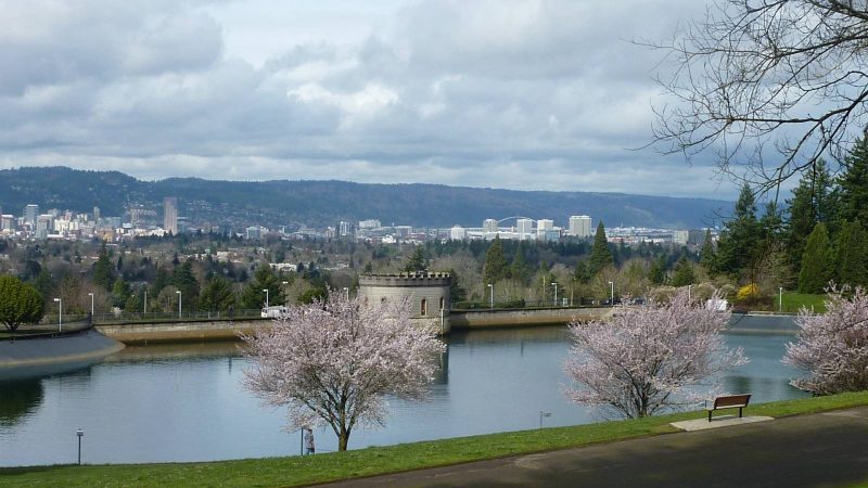
After crossing another well maintained and safe intersection at Lincoln and 60th, the Mountain will be to the left. Tabor’s main road to the summit offers stunning views to the East. Making way up the volcanic cinder cone, Portlanders can get their fix of mountains, trees and greenery within city limits.
Finally, the summit. Take in the city of Portland, enjoy a snack and watch the sun set behind the city with others. Share in the beauty of Portland. Share in the beauty of bicycle infrastructure. Share with me my favorite bike path in Portland.