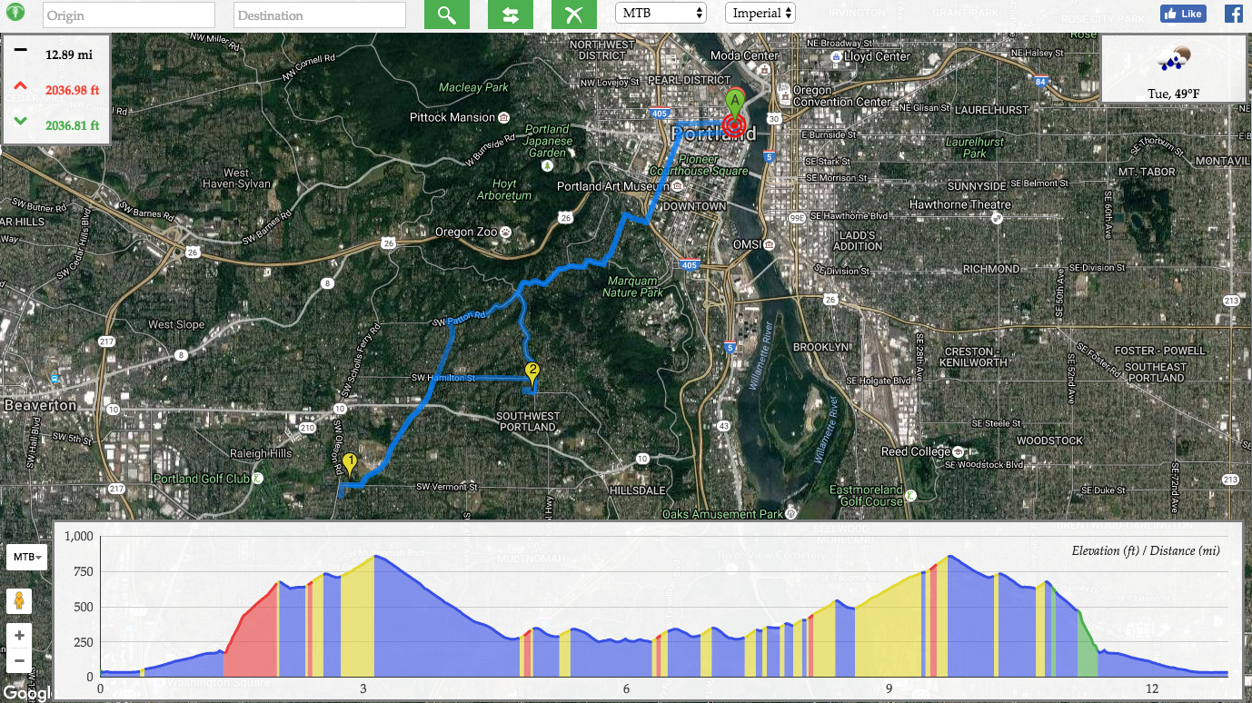
Whether you’re wondering how much water to take out on a long adventure or just curious about the mileage of your daily commute, bikeroll.net is our favorite new tool for mapping out our routes. It gives elevation, mileage, along with a weather forecast for your trip!
Best of all, it is a global service, with routing capabilities in both Metric and Imperial measurements. We plan to use it in mapping out our next trips! Here’s a screen shot of their interface. It’s pretty intuitive!
Thanks to Botond Bocsi for telling us about this great site.